
Miami Neighbors by Official Source
Each source answers a different block question. Miami-Dade GIS defines nearby parcels. Assessment cards name owners. Recorded deeds add transaction parties. A lawfully released voter file can show permitted registration fields by address, while civic pages identify public contacts rather than households. Use the narrowest source that fits the purpose.
| Source | What It Shows About a Block | Access |
|---|---|---|
| Land Information Viewer | Parcel geometry, adjacent folios, district layers and a measured buffer | Free interactive map |
| Property Search | Owner, mailing address, situs, folio, exemptions and values | Free, one parcel at a time |
| Official Records | Deed parties and a dated ownership chain | Most instruments from 1974 online; older library |
| Public voter file | Permitted voter fields tied to nearby addresses | Request; exempt data removed |
| NET and civic groups | Public board contacts, meetings, service areas and newsletters | Public pages; rosters usually private |
The tax roll proves who is assessed as owner, not who occupies a Miami home. A homestead exemption can support owner occupancy for a tax year, but it is not a household roster. A different tax-mailing address may indicate an owner lives elsewhere, though it could also belong to a trust or manager. Condo work must preserve both the unit and folio because one street address can represent hundreds of separate parcels.
Recorded deeds add a date and legal description when an ownership change matters. They commonly identify grantor, grantee, recording date, Clerk file number, book and page, and a return address. Those fields still do not establish continuous occupancy. For an older transfer, standard internet coverage reaches mostly to 1974. The Records Library holds earlier books and indexes, offers public computers for self-research, and can perform a staff name search for the published fee.
Buffer Miami Neighbor Parcels
The Miami-Dade Land Information Viewer supports two different neighbor methods. Clicking nearby outlines identifies parcels that share or nearly share a boundary. The Buffer tool returns parcels within a chosen distance. Select the starting parcel, enter a distance in feet, select Parcels as the target layer, and create the buffer.
This is an insider advantage when “nearby” needs a stated rule. Keep the distance with the notes. A 500-foot circle is not the same as a city block, and a waterway, expressway, or large commercial parcel can make straight-line proximity misleading. Map services may also cap the number of returned records.
Other viewer modes can search an address, intersection, landmark, folio, township-range-section, municipality, commission district, or permit number. Layer toggles, aerial and street basemaps, identify tools, and distance or area measurements help explain why two parcels that look close on a plain map may belong to different service areas. Save the selected folios before changing layers.
Note: State whether a Miami neighbors search used touching parcels or a measured buffer, since the two methods answer different questions.
Map Miami Neighbors by Folio
A folio is Miami-Dade's parcel identifier. Use it to move from a mapped shape to an assessment card without confusing a nearby unit or similarly numbered street. The situs address locates the land, while the mailing address tells where the tax notice goes.
- Find the subject address or folio in Land Information Viewer. Confirm the municipality and exact parcel outline.
- Click each touching outline, or run a measured parcel buffer. Save each returned folio before leaving the map.
- Open each folio in Property Search. Compare owner, situs, mailing address, homestead information and sale date.
- Use the deed index only when a dated ownership event matters. Keep the legal description with the party names.
This workflow stays within the immediate block. A complete named-road chain belongs in the Miami street directory, where the address parser, deed chain, and street grid receive full treatment.
Miami Neighbor Voter Data
Florida's voter-status tool is designed for one voter to retrieve an individual record using identity controls. It is not a street roster. A lawful block-level project instead requests the desired public fields, geography, election date, and file format from Miami-Dade Elections or the Florida Division of Elections. Fees and permitted distribution depend on the current product.
Public data may include name, residence or mailing address, party affiliation, precinct, district, registration date, status, and participation history. Participation shows that a ballot was credited, never the choices made. Section 97.0585 protects identity numbers, registration-source information, preregistration data for minors, and signature copying. Safe at Home and other protected-address records require suppression or substitution.
List maintenance can involve address changes, confirmation notices, inactivity, and cancellation. None proves that a person never lived at a Miami address. Dates and status must remain attached to every conclusion.
Miami Neighborhood Service Areas
Miami's Neighborhood Enhancement Team structure connects residents with city services through named service areas. Research identified Upper Eastside, Little Haiti, Model City, Allapattah, Overtown, Little Havana, Flagami/West Flagler, Coconut Grove, Wynwood, Downtown, and Coral Way. These are civic service areas, not lists of every neighbor.
NET Offices
Use the City service-area map and public office contacts for neighborhood issues, meetings, and the office serving a specific address.
Associations and HOAs
Public pages may name board contacts, meetings, or newsletters. Membership and household rosters are normally private.
Libraries and Archives
Historical directories and local collections can reconstruct an older block without implying that those names are current.
Congregations, clubs, watch groups, and current student lists should not be scraped or solicited. A group may publish a public contact while keeping its members private. That line is central to a responsible search for Miami neighbors.
Historical context comes through different channels. Main Library genealogy holdings include city directories, telephone indexes, the Miami-Dade Obituary Index, state censuses, passenger lists, and surname files. HistoryMiami holds directories, yearbooks, newspapers, maps, and organization papers by appointment. These sources can show who appeared on an earlier block, but each entry must retain its year and publication area.
Official Miami Neighbor Evidence
Commercial neighbor tools can be fast, but they may blend old addresses, purchased data, and same-name people. Official sources are narrower. Their value is that each field has a named custodian and a defined purpose.
| Source type | Strength | Limit |
|---|---|---|
| County GIS and assessment | Current parcel geometry and assessed owner | Does not list all occupants |
| Clerk and Elections | Dated public records with official custodians | Redactions, access rules and role context apply |
| Commercial category | May suggest a name or prior address | Can be stale, merged or uncertified |
Return to the county or state office before treating a result as fact. Correct property errors with the Property Appraiser, deed-index issues with the Recorder, and voter errors with Elections.
Miami Public Safety Lookups
Public-safety searches answer specific questions and should not be turned into a general roster of Miami neighbors. Florida Corrections covers state custody, release, and supervision. The FDLE registry offers statutory name and geographic search modes. DBPR and the Department of Health verify regulated credentials. Each has a different coverage limit.
Florida's official corrections entry is shown in this offender search capture.
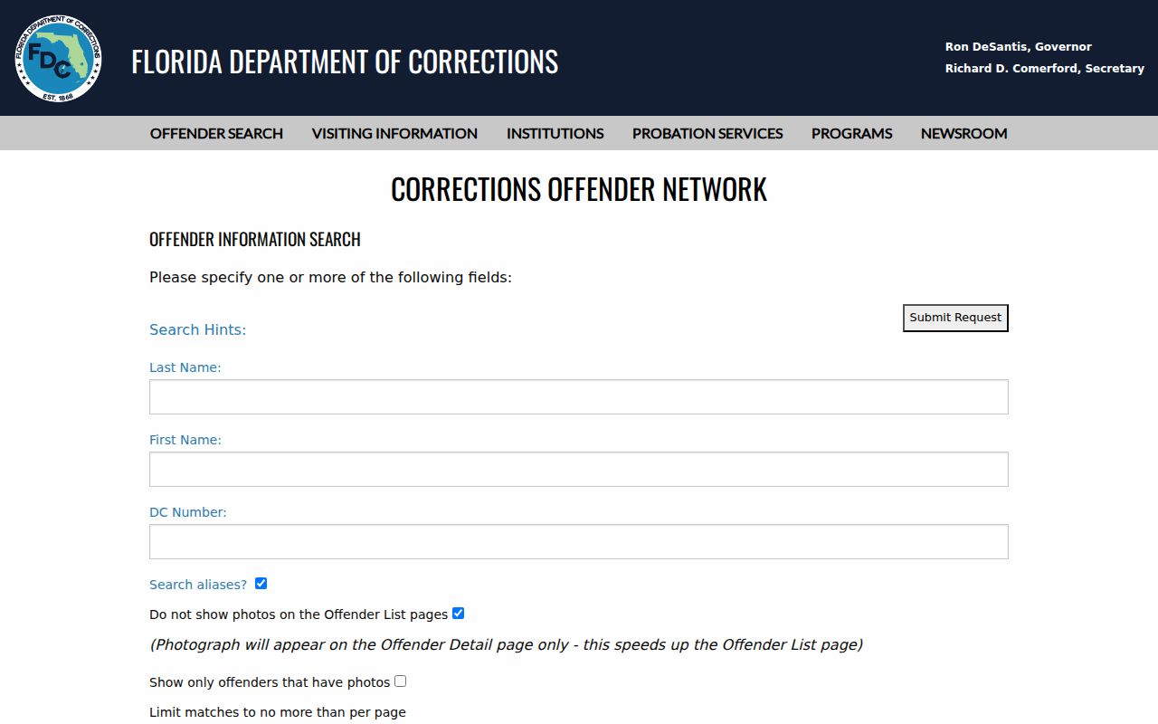
The state system covers corrections records, not every local Miami arrest or court event.
The geographic option on the FDLE offender registry is designed for public-safety awareness.
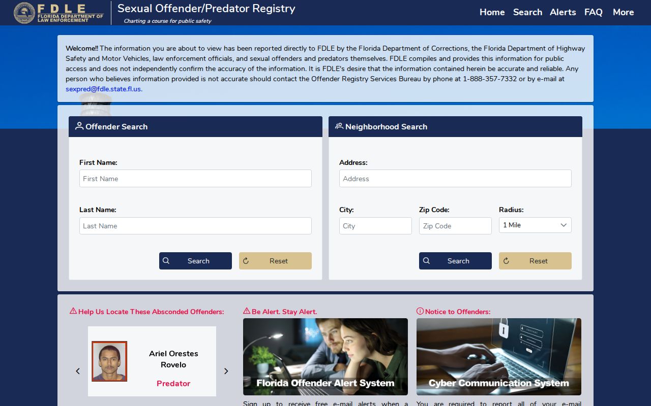
Registry warnings and anti-harassment rules must be followed. A radius result does not describe every person on a block.
Miami License Records in Context
A professional record may help confirm that a same-name person has a public Miami affiliation. DBPR Verify a License can show name, license number, location, license type, status, and public discipline links. It does not prove that a license address is the person's home.
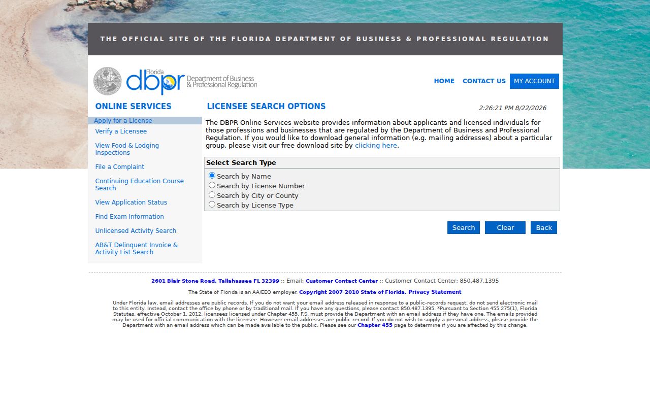
The result belongs beside a parcel or other dated source only when the identifying facts agree.
Health-care licenses use the separate Florida Department of Health verification service.
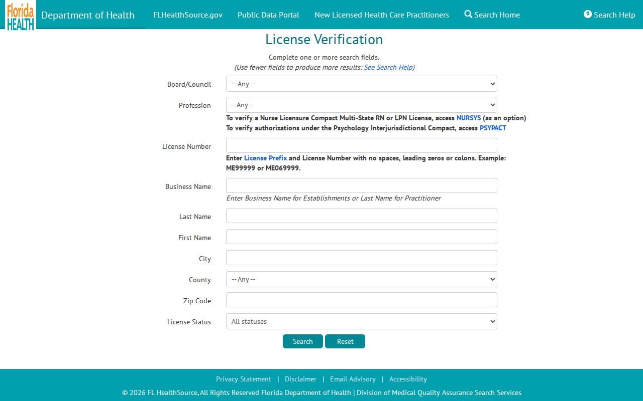
Separating the two custodians prevents a missing result in one portal from being read as proof that no Florida credential exists.
When Miami Blocks Cross Lines
An immediate visual block can cross a municipal boundary, ZIP, precinct, or association area. A postal address that says Miami may sit outside the City of Miami. County parcel GIS and jurisdiction layers decide which office applies. City guidance uses a folio prefix of 01 as a quick City property check.
The distinction affects permits and code records. Miami-Dade Property Appraiser and Clerk systems are countywide, but a separate municipality may keep its own building file. Likewise, NET service areas and civic boundaries should be taken from current public maps, not inferred from a mailing city.
Miami's grid adds another check. Flagler Street divides north from south, and Miami Avenue divides east from west. Dropping NW, NE, SW, or SE can send a search to a different parcel. Numbered streets and avenues are also easy to transpose. Preserve the standardized address, unit, quadrant, municipality, and folio together.
Privacy for Miami Neighbors
Renters and household members are not fully indexed in public property records. Utility, customer, delivery, driver, congregation, club, and private association data are not substitute resident rolls. Florida law also protects specified officials, victims, minors, and participants in Safe at Home. Agencies must redact exempt fields rather than expose a protected address.
Public availability is not consent to visit a home, publish protected information, or monitor a person. Keep only the facts needed for civic curiosity, reunion, or personal safety. Verify records with the custodian and respect every suppression or substitute address.
Lawful use. Search Miami neighbors only for lawful personal purposes. Florida prohibits stalking, cyberstalking, threats, harassment, and attempts to defeat legal confidentiality.