
Miami ZIP Directory Coverage
Miami ZIP code coverage is dense near downtown and irregular at the city edge. The table summarizes commonly associated areas from the county's December 2024 generalized map and local address context. It is a practical index, not a legal boundary survey. Station names were not published in the research source, so none are invented here.
| ZIP | Common areas | Postal type | Boundary note |
|---|---|---|---|
| 33101 | Downtown mail | PO-box designation | May not appear as a normal polygon |
| 33125 | Little Havana, Allapattah, Miami River west | Standard and edge | Crosses municipal context |
| 33126 | Flagami and airport-adjacent west Miami | Standard | Includes areas outside city |
| 33127 | Wynwood, western Edgewater, Model City | Standard | City core |
| 33128 | Downtown, courthouse, river | Standard | Government and downtown addresses |
| 33129 | South Brickell and eastern Roads | Standard | City core |
| 33130 | Downtown, west Brickell, east Little Havana | Standard | City core |
| 33131 | Brickell and downtown waterfront | Standard | High-rise and business concentration |
| 33132 | Downtown, Park West, Omni, south Edgewater | Standard | Includes port context |
| 33133 | Coconut Grove and edge areas | Standard | Extends toward Coral Gables |
| 33134 | West city edge and Coral Gables | Standard | Postal city does not settle municipality |
| 33135 | Little Havana and north Shenandoah | Standard | City core and west edge |
| 33136 | Overtown and Civic Center | Standard | City core |
| 33137 | Edgewater and south Upper Eastside | Standard | City core |
| 33138 | Upper Eastside, MiMo, Little River | Standard | City and nearby municipal edges |
| 33142 | Allapattah, Model City, airport-industrial edge | Standard | City and unincorporated complexity |
| 33144 | Flagami and west edge | Standard | Much lies outside city |
| 33145 | Coral Way and Shenandoah | Standard | City core and edge |
| 33146 | Coconut Grove and Coral Gables edge | Standard | Check parcel municipality |
| 33147 | Liberty City and Model City edge | Standard | City and unincorporated areas |
| 33150 | Little River and north Little Haiti | Standard | City, unincorporated, and North Miami edge |
| 33155 | Far southwest edge and Coral Terrace | Standard | Primarily outside city |
These ZIPs describe delivery geography around Miami. They do not prove that every address falls within the City of Miami or that every code on the county map is shown.
Read Miami's ZIP Map Carefully
The Miami-Dade December 2024 ZIP boundary map is the best countywide overview in the research. Its own disclaimer says boundaries are generalized and approximate. It may omit codes used only for post-office boxes. That warning is part of the evidence, not fine print to ignore.
Use the map to pick likely codes and see broad relationships. Do not use its drawn edge as final proof for one parcel. Water, expressways, large tracts, and neighboring municipalities can make a clean color boundary look more definite than postal operations are.
Search Miami Addresses With ZIP
The county Address Search separates the parts that often cause Miami false matches. It accepts a ZIP and municipality as optional controls, while keeping each piece of the street string distinct. Preserve the returned normalized address for later parcel and records work.
| Search field | Type | Required | Use |
|---|---|---|---|
| House Number | Text | Search dependent | Exact building number |
| Pre-Direction | Choice/text | When present | NW, NE, SW, or SE |
| Street Name | Text | Yes | Name or numbered road |
| Street Type and Type2 | Choice/text | When present | Distinguishes street, avenue, road, and compound forms |
| Post-Direction | Choice/text | When present | Completes the standardized street |
| ZIP | Text | No | Narrows postal area |
| Municipality | Choice/text | No | Checks local jurisdiction |
Flagler Street divides north from south, while Miami Avenue divides east from west. Omitting the quadrant or swapping a numbered street and avenue can send the search to a different place even when the ZIP looks plausible.
Find Miami Residents by ZIP
No official portal in the research supplies a simple public roster of everyone in one ZIP. The county Address Search uses ZIP as a narrowing control. GIS can display address and boundary data. The Property Search landing form offers address, owner name, subdivision, and folio, but no dedicated ZIP field. Do not pretend that it does.
- Confirm the full delivery address through USPS when it is known.
- Use County Address Search with the ZIP and municipality to standardize the street.
- Open GIS or e-Maps to inspect the area and parcel context within that code.
- For a named person, check the owner-name property roll or lawful voter source and confirm the match with another official record.
- Once narrowed to a street, use the Miami street address directory for parcel and deed steps.
A requested public voter file may be organized by geography, subject to current fields, fees, and exemptions. The state voter-status page is identity-gated for an individual. It is not a ZIP-wide browsing tool and should not be scraped.
Map a Miami ZIP in GIS
Miami-Dade e-Maps supplies the visual bridge from a postal area to county geography. Map layers and address data help test whether an apparent Miami ZIP touches a separate municipality or an unincorporated area. Property records then provide a folio and situs for one parcel.
The linked county map interface is the successful ZIP-directory image assigned in the project manifest:
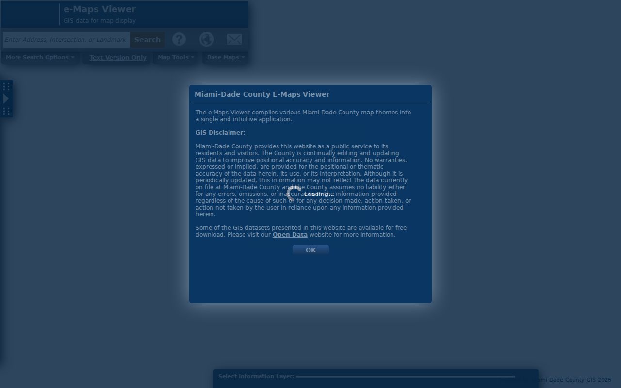
The screenshot shows why ZIP research benefits from a map layer before a reader chooses the city, county, or neighboring municipal office.
Miami ZIPs Versus City Limits
A preferred postal city of “Miami” does not establish City of Miami jurisdiction. ZIPs 33126, 33133, 33134, 33138, 33142, 33144, 33146, 33147, 33150, and 33155 illustrate edge conditions in the research. Some extend toward Coral Gables, North Miami, or unincorporated county areas. Countywide offices can still hold deeds and assessment data while permit and code records belong elsewhere.
For City building records, research guidance uses folio prefix “01” as a quick jurisdiction check. Confirm the municipality and folio before sending a permit request. A wrong office may have no responsive file even though the envelope says Miami.
- ZIP code
- A postal delivery code; it is not a city boundary.
- ZIP+4
- The base code plus four digits that narrow a delivery segment.
- PO-box ZIP
- A code serving boxes rather than a normal mapped delivery polygon.
- Unique ZIP
- A code assigned to one large organization or destination.
- Carrier route
- A postal delivery path within a ZIP, not a resident list.
Four Miami Address Keys
ZIP, situs, mailing, and legal description answer different questions. The situs is the physical parcel address. The mailing address is where a tax notice goes. The legal description identifies recorded land through a subdivision, lot, block, plat, or condominium description. The ZIP routes mail.
| ZIP | Narrows postal delivery geography. |
|---|---|
| Situs address | Places the parcel on the ground. |
| Mailing address | Points to the tax recipient, who may live elsewhere. |
| Legal description or folio | Keeps the same parcel tied to deeds and county systems. |
A deed chain is safest with legal description and folio. A permit request uses situs. A resident lead may begin with mailing data, but a remote mailing address does not identify an occupant at the parcel.
Miami's Nonstandard ZIP Cases
ZIP 33101 is the clearest local caution. It is associated with downtown mail and PO boxes and may not appear as a normal polygon on every map. The county map also says some PO-box codes can be omitted. A blank area or absent label is not proof that a code is invalid.
High-rise districts such as Brickell and downtown add another issue. One building address may lead to many condominium folios. Keep the unit and folio with the ZIP. A building-wide street string can merge hundreds of separate legal parcels and owners.
Note: A county ZIP map is a starting layer; the full USPS address and county folio control an individual property search.
Use Miami ZIP Searches Lawfully
ZIP-level research is useful for genealogy, reconnecting through public sources, checking a family address, or understanding a neighborhood. It should not be used to build a target list or expose protected people. Florida public voter data omits protected identifiers and signatures, and Safe at Home or statutory exemptions can suppress or substitute an address.
Official rolls also have limits. A tax-roll owner may not be the resident. A voter status reflects registration, not every person in a home. GIS maps parcels, not households. Confirm a name with two independent official sources and respect every withheld field.